Archduke’s Trail & Mirador de Can Costa
Nov
7
9:30 AM09:30

Archduke’s Trail & Mirador de Can Costa

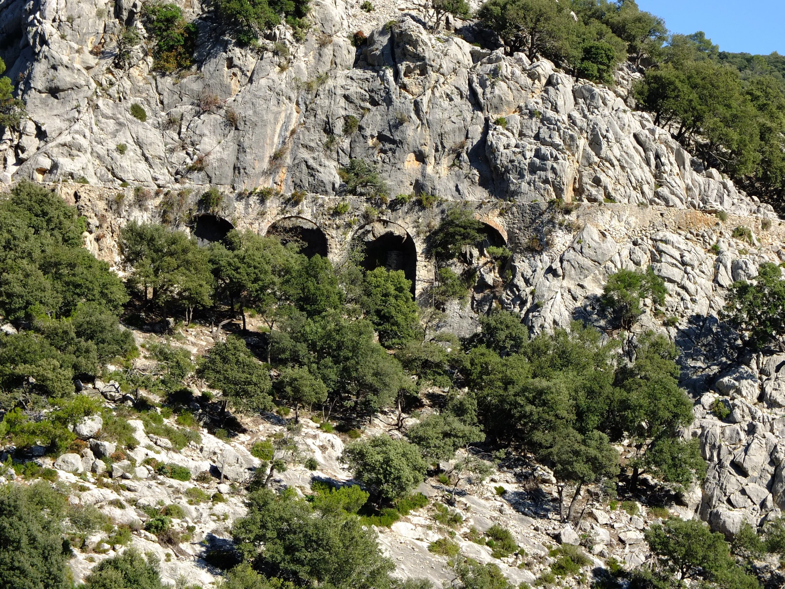
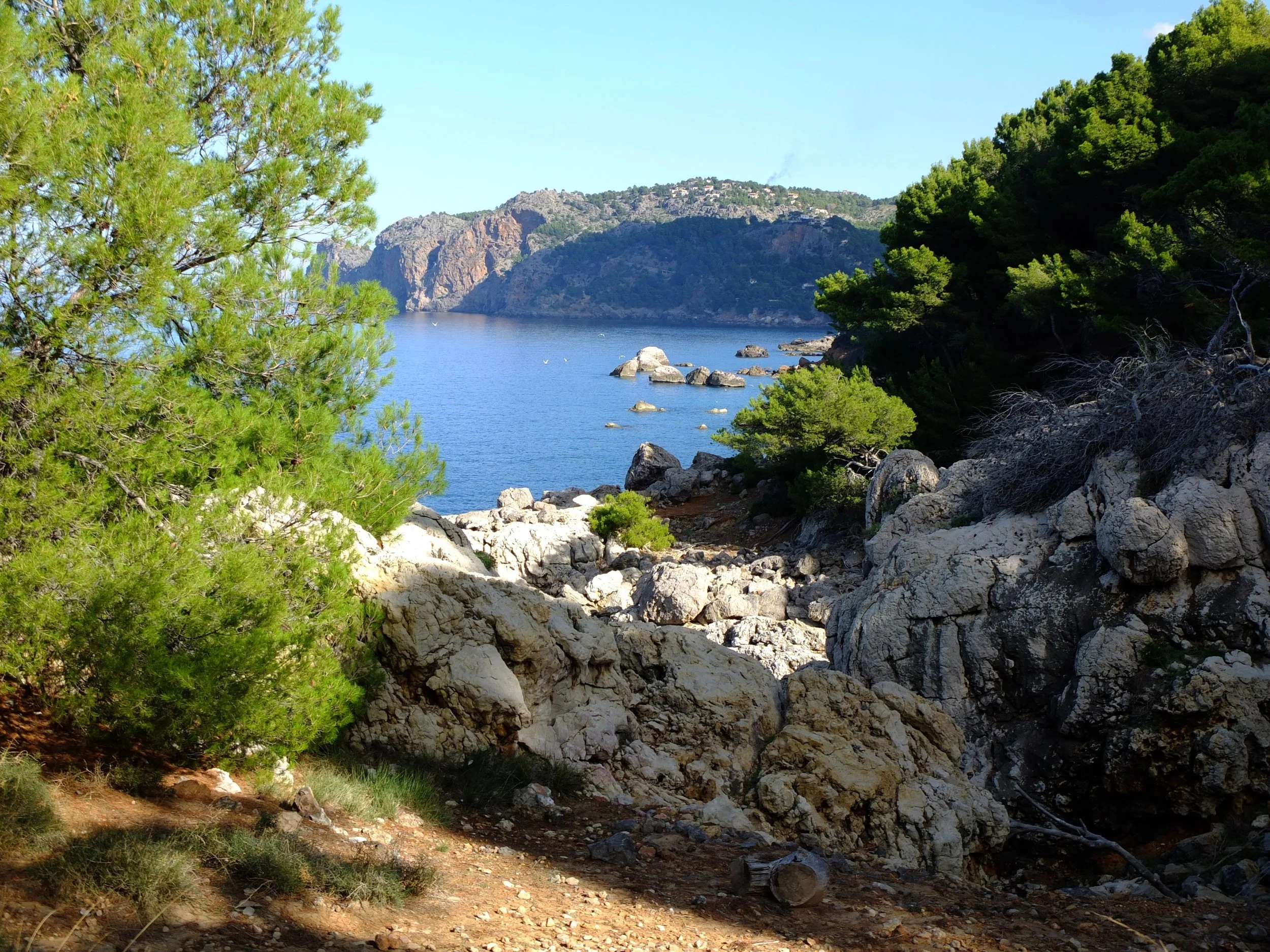
A circular walk from Valldemossa which initially passes through a private estate to a dramatically positioned Mirador overlooking the sea. It continues along a ridge, with views towards Palma, to a refuge which makes a perfect snack spot with views towards Port Sóller. After visiting the cave where a hermit monk dwelt over 200 years ago, the route ascends and joins the famous trail with spectacular views over part of the north western coastline. A few interesting island stories along the way!

14km - 750m ascent/descent -

4.5 hours Intermediate

View Event →
Alaró Castle
Oct
31
8:00 AM08:00

Alaró Castle

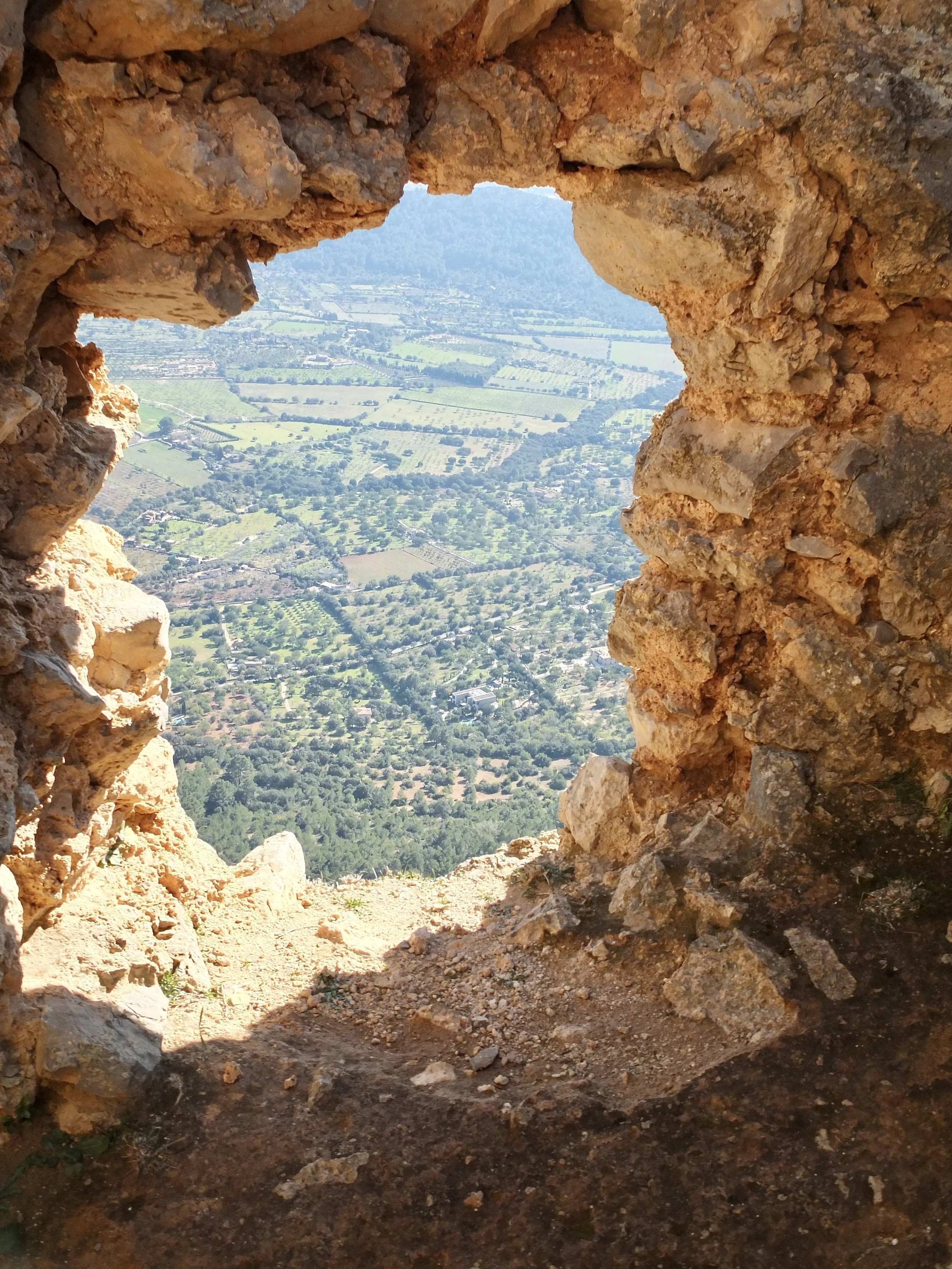
A circular walk from Alaró on the eastern side of the Tramuntana range. After leaving Alaró we follow a track and then a path which goes through the Pas de s’Escaleta to the Orient Valley. There are views of the Three Peaks and Tossals Verds. The path then ascends to the ruins of the once impregnable castle on the summit of Puig d’Alaró. There are impressive 360º views from the summit and the opportunity to learn about the castle’s history. On our descent we can detour to the famous lamb restaurant at Es Verger for lunch before returning to Alaró.

14km - 650m ascent/descent -

4.5 hours Intermediate

View Event →
Puig Tomir via Pas del Diable
Oct
24
9:30 AM09:30

Puig Tomir via Pas del Diable

A circular mountain hike from Binifaldó outside Lluc to the impressive 1100m peak of Tomir. After leaving Binifaldó the path joins the GR221 and then ascends through woodland to the Pas on the western flank of the mountain. There are magnificent views over the north of the island and, from the peak, views across the central plain. The descent is through the Coll de Pedregaret and returns to Binifaldó. Rocky, loose terrain in places and involves some scrambling.

13km - 700m ascent/descent -

5 hours Difficult

View Event →
Puig Tossals Verds & Puig de sa Font
Oct
17
9:00 AM09:00

Puig Tossals Verds & Puig de sa Font

Puig Tossals Verds & Puig de sa Font - Thursday 14

Starting at Cuber reservoir this route follows a seldom trod path to Tossals Verds and returns via Puig de sa Font to Cuber. Panoramic views of the mountains and reservoirs with a sense of being in a wilderness. One short section of scrambling.

11km - 550m ascent/descent - 4.5 hours

Intermediate

View Event →
Three Peaks
Oct
10
9:30 AM09:30

Three Peaks

A circular walk from Cuber reservoir to the three majestic 1000m plus peaks which overlook it. Fabulous panoramic views with a real sense of being in the midst of the mountains. The ascent to sa Rateta follows a path from the reservoir dam up an Sshaped gully and the descent from Puig de l’Ofre avoids the tricky path on its southern side.

13km - 650m ascent/descent -

5 hours Intermediate/difficult

View Event →
Puig de n’Ali
Oct
2
8:30 AM08:30

Puig de n’Ali

A circular walk from Caimari involving a steep ascent to one of the most remarkable peaks on the island with panoramic views of the mountains and plain. An unusual flat rock on the summit makes a perfect vantage point. After descending to the Coll de sa Linia the path follows a torrent and passes through tranquil valleys before joining the GR222 and returning to Caimari. The walking writer, Paddy Dillon, rates it one of his favourite walks.

12km - 900m ascent/descent -

5 hours Difficult

View Event →
Biniaraix Mountain Circuit
Sep
26
2:00 PM14:00

Biniaraix Mountain Circuit

This circular walk begins in the village of Biniaraix. The route follows an asphalt lane out of the village passing olive groves. After a right turn it ascends on a mountain path up the eastern side of the Sóller Valley to the Portell de sa Costa (the gateway to the coast). There are super views over the Valley. The route crosses the head of the Son Torella Valley to Coll de l’Ofre. You get a sense that you are in the heart of the mountains. Additionally there are many good options for a picnic spot! Finally the route descends on a path through the dramatic Barranc de Biniaraix gorge to the start point.

13.5km - 950m ascent/descent - 5 hours 30 minutes

Intermediate

View Event →
Archduke’s Trail & Mirador de Can Costa
Sep
19
9:30 AM09:30

Archduke’s Trail & Mirador de Can Costa

A circular walk from Valldemossa which initially passes through a private estate to a dramatically positioned Mirador overlooking the sea. It continues along a ridge, with views towards Palma, to a refuge which makes a perfect snack spot with views towards Port Sóller. After visiting the cave where a hermit monk dwelt over 200 years ago, the route ascends and joins the famous trail with spectacular views over part of the north western coastline. A few interesting island stories along the way!

14km - 750m ascent/descent -

4.5 hours Intermediate

View Event →
Cala Tuent
Sep
12
9:30 AM09:30

Cala Tuent

One of the iconic walks on the island. It is a linear walk form the Mirador de ses Barques, overlooking Sóller and the Port, to the unspoiled beach at Cala Tuent. The route descends gently into the Balitx Valley passing through olive groves and a copse. From the floor of The Valley, which resembles a rock cauldron, you ascend to the Coll de Biniamar and on to the cliff side path of Sa Costera with magnificent sea views. A short descent at the end of sa Costera leads to the Cala. You first pass a restaurant, Es Vergeret, which has a terrace above the Cala. It’s a great lunch venue and booking is advised. You can swim at the beach. At about 5pm there is a boat to Port Sóller. For many this trip is a highlight of the day, enjoying views of the island from the seaward side.

The journey takes 45 minutes. 12km - 250m ascent/650m descent -

4 hours Easy/intermediate

View Event →
Sóller to Deià via Llucalcari
Sep
5
8:30 AM08:30

Sóller to Deià via Llucalcari

A linear walk from Sóller to Deià. It ascends the Cami de Rocafort on the southern side of the valley passing through olive groves and crosses the line of the famous railway from Palma to Sóller. It joins the GR221 for a short time with a break for cakes and orange juice at Son Mico (a must). Continuing the route descends to Llucalcari and the coastal path. It follows this path to Cala Deià and finally ascends to Deià. It may be possible to arrange lunch in Deià. Return to Sóller or Port by bus.  12km -

500m ascent/380m descent -

4.5hrs Easy/Intermediate 


View Event →
Puig Tossals Verds & Puig de sa Font
May
23
8:30 AM08:30

Puig Tossals Verds & Puig de sa Font

Puig Tossals Verds & Puig de sa FontStarting at Cuber reservoir, this circular route begins on the GR221 and then follows a seldom trod path to the peak of Tossals Verds. It makes a perfect picnic stop with great views of the surrounding mountains and plain. The path descends to a sheltered valley and ascends to Puig de sa Font. It joins a section of the GR221 and returns to Cuber. A hike which brings a real sense of being in a wilderness.  One short section of scrambling.

11km - 550m ascent/descent -

4.5 hours Intermediate

View Event →
Sóller - Alfabia Ridge - Cuber Reservoir
May
9
9:30 AM09:30

Sóller - Alfabia Ridge - Cuber Reservoir

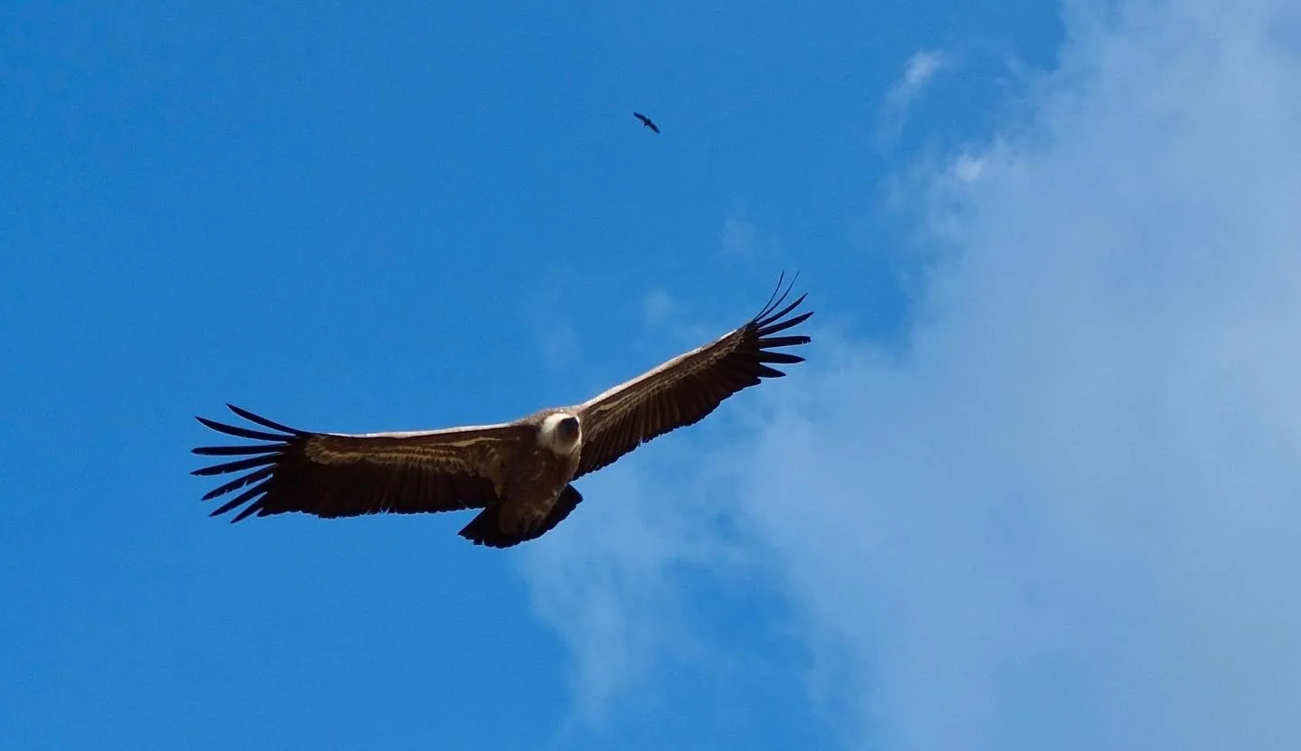
A demanding yet rewarding linear walk along the high ridge overlooking the Sóller Valley which finishes in the midst of the mountains at Cuber reservoir. Starting in Sóller, the route ascends towards the antennae and follows a path along the ridge, visiting a number of 1000m plus peaks and the distinctive Cornador Gran with its crow’s nest mirador. Often one sees many vultures. Descending to the GR221 at the top of the Barranc de Biniaraix, the route then ascends to the Coll de l’Ofre and finally gently descends to the reservoir.

20km - 1450m ascent/750m descent -

7 hours Difficult

View Event →
Esporles to Banyalbufar
May
2
9:30 AM09:30

Esporles to Banyalbufar

A linear walk from the town of Esporles along tracks and rocky paths which ascend at first and then descend to Port Canonge along an old fisherman’s path. After the opportunity for a swim, the route follows a coastal track which fringes the Son Bunyola Estate and leads to Banyalbufar. Following a refreshing drink, we return to Esporles by bus (a 20 minute journey).

13.5km - 425m ascent/500m descent -

4 hours 30 minutes Intermediate

View Event →
Sa Bassa
Apr
11
10:30 AM10:30

Sa Bassa

A figure of 8 walk from the square in Fornalutx to the peak of Puig de sa Bassa (820m) on the north western side of the Sóller Valley. The route follows the Cami de s’Alzina Fumadora, a mostly stepped path, and crosses an area of carritx grass to reach the top. On the descent there is a bird’s eye view of Port Sóller and the route joins the Cami de s’Alzinaret passing olivars, a stream bed and astonishingly an old abandoned car on the way to Fornalutx.

11km - 750m ascent/descent -

4 hours Intermediate

View Event →
Sóller to Deià via Llucalcari
Mar
14
9:30 AM09:30

Sóller to Deià via Llucalcari

A linear walk from Sóller to Deià. It ascends the Cami de Rocafort on the southern side of the valley passing through olive groves and crosses the line of the famous railway from Palma to Sóller. It joins the GR221 for a short time with a break for cakes and orange juice at Son Mico (a must). Continuing the route descends to Llucalcari and the coastal path. It follows this path to Cala Deià and finally ascends to Deià. It may be possible to arrange lunch in Deià. Return to Sóller or Port by bus.  12km -

500m ascent/380m descent -

4.5hrs Easy/Intermediate 


View Event →
Puig Massanella
Sep
21
2:30 PM14:30

Puig Massanella

A circular walk from the Coll de sa Bataia outside Lluc to the peak of the second highest mountain on Mallorca. It passes through the Comafreda Estate and ascends the eastern side of the mountain. It descends via the ridge and along a stony path eventually to the Coll.

14km - 850m ascent/descent - 5.5hrs

Difficult

View Event →
S’Estaca - Wednesday 28 June
Jun
28
9:00 AM09:00

S’Estaca - Wednesday 28 June

A circular walk starting from outside the Hotel Continental on the road between Deià and Valldemossa. It is a mostly shaded route on a wide cliff side path. It features an active hermitage, great coastal views from a mirador and a visit to the fishing hamlet of S’Estaca where one can swim. There is also a commanding view of a film star’s property.

7.5km - 400m ascent/descent -

3.5hrs Easy

View Event →
Penyal des Migdia - Friday 22nd
Oct
18
10:30 AM10:30

Penyal des Migdia - Friday 22nd

Conquer the highest lawfully accessible summit on Mallorca, almost level with the radar

station on Puig Major, and enjoy panoramic views over the Serra de Tramuntana. The

steep, rocky ascent requires scrambling in places and a head for heights as you follow

the ridge line. Often you see vultures.

6km - 610m ascent/descent - 4 hours

Difficult

NB Group limited to 5

View Event →
Canaleta de Massanella - Friday 14th
Oct
14
9:30 AM09:30

Canaleta de Massanella - Friday 14th

Canaleta de Massanella - Friday 14th

A chance to walk along the old stone water channel and aqueduct, constructed in the

18th century, which brought water from Font des Prat to Finca Massanella. This circular

walk begins at the Finca outside Mancor de la Vall, ascends to the channel and follows it

to the Font. After a short section on the GR221, we cross through valleys and return to

the start point.

15km - 700m ascent/descent - 5 hours

Intermediate/difficult

View Event →
Port Andratx to Sant Elm - Tuesday 11th
Oct
11
9:30 AM09:30

Port Andratx to Sant Elm - Tuesday 11th

Port Andratx to Sant Elm - Tuesday 11th

The first leg of the GR221 trail in the south west of the island. Great views of sa

Dragonera and the coast as you follow a trail through forested hills from the Port. The

destination is picturesque and there is the chance of a swim there. Return to Port Andratx

by a short bus ride.

9km - 380m ascent/descent - 3 hours

Easy

View Event →
St Elm to s’Arracó via La Trapa - Friday 1st
Apr
1
5:30 AM05:30

St Elm to s’Arracó via La Trapa - Friday 1st

An almost circular walk in the south west of the island with spectacular views of sa Dragonera and the coastline and a visit to the ruined monastery of La Trapa. A wonderful mix of wilderness, history and views. It includes a short section of straightforward scrambling.

13km - 570m ascent/500m descent - 5hrs

Intermediate

View Event →